
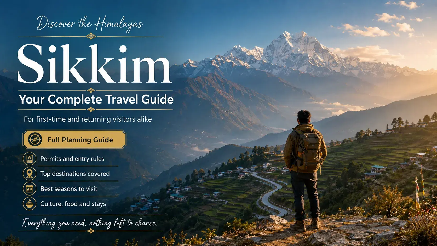
Sikkim is a small Himalayan state in Northeast India, covering 7,096 sq km, bordered by Nepal, Tibet, and Bhutan. This sikkim travel guide addresses the permit regulations, altitude logistics, and seasonal road conditions that first-time visitors most commonly misunderstand. Missing a permit or arriving during monsoon can result in denied entry or a disrupted itinerary. This guide covers permits, travel seasons, transport routes, zone-by-zone attractions, and a structured four-part planning framework.
What is Sikkim and what makes it a distinct travel destination?
Sikkim is a small Himalayan state in Northeast India covering 7,096 sq km, bordered by Nepal, Tibet, Bhutan, and West Bengal. Sikkim combines permit-controlled access, extreme elevation variation, Tibetan Buddhist culture, and India's first fully organic farming status in a single destination.
Sikkim became the 22nd state of India in 1975, having previously functioned as an independent kingdom under the Chogyal monarchy. The state is divided into four administrative districts: East, West, North, and South Sikkim.
Elevation across Sikkim ranges from approximately 300 m in the southern valleys to 8,586 m at the summit of Kangchenjunga. Kangchenjunga is the third-highest peak on Earth and defines Sikkim's northern boundary with Nepal and Tibet.
Three primary communities shape Sikkim's cultural identity: the Lepcha, considered the original inhabitants; the Bhutia, of Tibetan origin; and the Nepali community, the largest by population. Tibetan Buddhism is the dominant religious influence, visible in monasteries, prayer flags, and festivals across all four districts.
Sikkim achieved a significant environmental milestone when the Sikkim Organic Mission made Sikkim India's first fully organic state. This status affects agriculture, food production, and the overall travel experience for visitors seeking sustainable destinations.
Not all areas of Sikkim are freely accessible. North Sikkim, Nathu La Pass, Tsomgo Lake, and the Old Silk Route in East Sikkim all require permits before entry. This permit-controlled structure distinguishes Sikkim from most other Indian hill destinations and requires advance planning.
Why does Sikkim matter for Indian travellers?
Sikkim matters for Indian travellers because it combines international-standard Himalayan scenery with a domestic travel framework, requiring only an Inner Line Permit rather than a passport or visa, while offering landscapes, monasteries, and biodiversity unavailable elsewhere within India's borders.
Sikkim sits within India's northeastern Himalayan region, yet Sikkim delivers an experience that feels distinctly cross-border in character. The state shares boundaries with Nepal, Tibet, and Bhutan, giving Sikkim a cultural and ecological profile unlike any other Indian destination.
For Indian travellers, Sikkim removes the cost and complexity of international travel. Kangchenjunga, the third-highest peak on Earth at 8,586 m, is visible from multiple points within Sikkim without requiring a Nepal or Tibet entry permit.
Sikkim's status as India's first fully organic state adds a dimension that few Himalayan destinations can match. Food, agriculture, and the broader environment in Sikkim reflect this commitment, which directly shapes the quality of local produce and the absence of synthetic pesticides in the landscape travellers move through.
The permit-controlled structure of Sikkim also creates a low-footfall environment in restricted zones. North Sikkim, which contains Gurudongmar Lake at 5,183 m, receives significantly fewer visitors than comparable Himalayan destinations precisely because entry requires advance documentation and a registered operator in certain zones.
Gangtok, the capital at 1,650 m, functions as a well-connected base with established accommodation, road links to New Jalpaiguri at 114 km, and proximity to Pakyong Airport at 35 km. This infrastructure makes Sikkim accessible without sacrificing the remoteness that defines its appeal.
How does the SALT Planning Framework work for building a Sikkim itinerary?
The SALT Planning Framework organises a Sikkim trip into four sequential components: Seasons and Permits, Acclimatisation and Health, Logistics and Transport, and Territory Zones and Itinerary. Applying all four components in order produces a complete, permit-compliant travel plan.
S — Seasons and Permits: locking the travel window before booking
The first component of the SALT framework requires a traveller to confirm the travel month before any booking is made. The travel month determines which zones are accessible and which permits are required. A traveller planning a March visit, for example, can access North Sikkim and Yumthang Valley. A traveller planning a July visit faces road closures on NH10 and restricted North Sikkim entry. Once the season is confirmed, the permit checklist follows directly. Indian nationals visiting North Sikkim require an Inner Line Permit, as described in the permit section of this guide. Foreign nationals require a Protected Area Permit from the Foreigners Registration Office in Gangtok. Permit applications for North Sikkim zones require a registered tour operator. Confirming this operator at the season-selection stage prevents last-minute delays at checkpoints.
A — Acclimatisation and Health: pacing altitude gain across the itinerary
The second component addresses the elevation range within Sikkim, which spans from approximately 300 m in the south to 5,183 m at Gurudongmar Lake in North Sikkim. Rapid altitude gain without acclimatisation increases the risk of acute mountain sickness. A structured itinerary begins with one to two nights in Gangtok at 1,650 m before ascending to higher zones. North Sikkim destinations, including Lachung at approximately 2,700 m and Gurudongmar Lake at 5,183 m, require gradual progression. Travellers with cardiovascular or respiratory conditions should consult a physician before planning high-altitude segments of the itinerary.
L — Logistics and Transport: reaching Sikkim and selecting accommodation bases
The third component addresses how a traveller reaches Sikkim and moves between its four districts. The two primary entry points are Bagdogra Airport (IXB) at 124 km from Gangtok and New Jalpaiguri (NJP) railhead at 114 km from Gangtok. Shared jeeps from both points reach Gangtok in approximately four to five hours. Pakyong Airport (IXP), located 35 km from Gangtok, offers limited direct routes and serves as a closer but less reliable option. Within Sikkim, no rail network exists. Private taxis are essential for North Sikkim and restricted-zone travel. Shared jeeps operate on fixed routes between Gangtok, Pelling, Ravangla, and Namchi. Travellers planning North Sikkim itineraries should pre-book a registered operator, as private vehicles require operator coordination at checkpoints.
T — Territory Zones and Itinerary: dividing Sikkim into four planning districts
The fourth component maps Sikkim's four administrative districts — East, West, North, and South — as distinct planning units. Each district carries a different elevation profile, permit requirement, and activity set. East Sikkim, anchored by Gangtok at 1,650 m, serves as the primary base for most itineraries. West Sikkim, centred on Pelling, offers Kangchenjunga views and access to Khecheopalri Lake. North Sikkim, the most restricted district, includes Lachung, Yumthang Valley at 3,564 m, and Gurudongmar Lake at 5,183 m. South Sikkim, anchored by Namchi and Ravangla, contains Buddha Park and Ralang Monastery. Structuring the itinerary by district — rather than by attraction — reduces backtracking and aligns permit applications with travel sequence.
What are the most common mistakes when planning a Sikkim trip?
The most common mistakes when planning a Sikkim trip include arriving without the correct permits, underestimating altitude effects, travelling during peak monsoon, and booking transport without accounting for restricted-zone operator requirements. Each error can disrupt or cancel planned itinerary segments.
Skipping permit research before booking flights: Indian nationals entering North Sikkim or Tsomgo Lake require an Inner Line Permit. Foreign nationals require a Protected Area Permit. Applying after arrival at Gangtok adds one to two days of delay to any itinerary.
Ignoring altitude acclimatisation: Gurudongmar Lake sits at 5,183 m. Travellers who ascend to North Sikkim without a rest day in Gangtok at 1,650 m risk acute mountain sickness. A minimum 24-hour acclimatisation stop in Gangtok is advisable before ascending above 3,500 m.
Travelling in peak monsoon without contingency days: NH10, the primary road connecting Siliguri to Gangtok, is prone to landslides between June and September. Travellers with fixed return tickets and no buffer days risk missing departures from New Jalpaiguri or Bagdogra Airport.
Booking private vehicles without a registered operator for North Sikkim: Checkpoints on the North Sikkim route require vehicles to be coordinated through a registered tour operator. Private self-drive arrangements are not permitted in restricted zones.
Treating Sikkim as a single-zone destination: Each of the four districts — East, West, North, and South — requires separate planning for permits, transport, and accommodation. Combining all districts into one unstructured itinerary without district sequencing leads to significant backtracking on mountain roads.
Overlooking the single-use plastic prohibition: Sikkim enforces a ban on plastic carry bags under state legislation. Travellers carrying single-use plastic items may face confiscation at entry checkpoints.
How do you use the Tripstor Planning Framework to build a Sikkim travel guide?
The Tripstor Planning Framework applies the SALT structure — Seasons and Permits, Acclimatisation and Health, Logistics and Transport, Territory Zones and Itinerary — to convert raw research into a sequenced, permit-compliant Sikkim trip plan with clear decision points at each stage.
Most travellers approach a Sikkim travel guide as a list of attractions. The SALT framework reframes planning as a four-stage decision sequence. Each stage produces a concrete output before the next stage begins.
The first stage, Seasons and Permits, locks the travel window and generates a permit checklist. A traveller choosing October commits to post-monsoon road conditions and peak accommodation demand. That same traveller visiting North Sikkim requires an Inner Line Permit coordinated through a registered operator.
The second stage, Acclimatisation and Health, converts the locked itinerary into an elevation-paced schedule. Gangtok at 1,650 m serves as the standard acclimatisation base before ascending toward Gurudongmar Lake at 5,183 m. The framework assigns a minimum of two nights at each elevation band before the next ascent.
The third stage, Logistics and Transport, maps entry points and intra-district movement. Travellers arriving at New Jalpaiguri railhead, located approximately 114 km from Gangtok, use shared jeeps for the primary leg. North Sikkim zones require pre-booked private vehicles through a registered operator, as noted in the permit system section of this guide.
The fourth stage, Territory Zones and Itinerary, assigns districts to days based on outputs from the first three stages. East Sikkim, West Sikkim, North Sikkim, and South Sikkim each carry distinct permit requirements, elevation profiles, and road access conditions that the earlier stages have already resolved.
How do you use the Tripstor Planning Framework to plan a sikkim travel guide itinerary?
The Tripstor SALT Planning Framework converts this sikkim travel guide into an actionable trip plan by sequencing four decisions: season and permits, acclimatisation, logistics, and territory zones. Each stage produces a specific output that feeds directly into the next stage.
Travellers who attempt to build a Sikkim itinerary without this sequence frequently encounter avoidable problems. A permit omission at the Seasons and Permits stage surfaces only at a checkpoint. An acclimatisation error compounds into altitude sickness at Gurudongmar Lake, elevation 5,183 m, as noted earlier in this guide.
The framework works as a dependency chain, not a checklist. Each stage must be completed before the next stage begins. A traveller who skips the Acclimatisation stage and moves directly to Territory Zones will assign too many high-altitude days too early in the schedule.
The practical entry point is the travel month. The chosen month determines which season applies, which zones are accessible by road, and which permits must be secured before departure. That output then constrains the acclimatisation schedule, which in turn defines the minimum trip duration required for the chosen zones.
North Sikkim, which includes Gurudongmar Lake and Lachung, requires the most preparation across all four stages. The Seasons and Permits stage must confirm road access and Inner Line Permit eligibility. The Acclimatisation stage must assign two nights at Gangtok before any ascent above 3,000 m. The Logistics stage must confirm a registered operator and private vehicle. Only then does the Territory Zones stage assign specific days to North Sikkim destinations.
SALT Stage | Primary Input | Output for Next Stage |
|---|---|---|
S — Seasons and Permits | Chosen travel month | Accessible zones, permit checklist, and application deadlines |
A — Acclimatisation and Health | Accessible zones and maximum elevation | Minimum acclimatisation nights and day-by-day altitude ceiling |
L — Logistics and Transport | Acclimatisation schedule and zone list | Entry point, vehicle type, accommodation bases, and transfer sequence |
T — Territory Zones and Itinerary | Confirmed logistics and transport plan | Day-by-day itinerary with specific destinations assigned to each district |
The table above shows how each SALT stage produces a concrete output. That output becomes the mandatory input for the following stage. A traveller planning a North Sikkim circuit in April, for example, exits the Seasons and Permits stage with an ILP requirement confirmed. The Acclimatisation stage then assigns two nights in Gangtok before any ascent. The Logistics stage confirms a registered private vehicle. Only then does the Territory Zones stage place Gurudongmar Lake, elevation 5,183 m, on a specific day.
Worked Example: Applying SALT with Real Numbers
The SALT Planning Framework produces measurable, verifiable outputs at each stage. The following worked example traces a single itinerary decision through all four components using specific figures.
Traveller profile: Two Indian nationals planning a 7-night trip targeting Gurudongmar Lake in North Sikkim.
S — Seasons and Permits: Travel month is October. Season is post-monsoon autumn. North Sikkim roads are open. Required permit is an ILP, obtainable free of cost at Rangpo checkpoint. Group size of two satisfies the minimum requirement for North Sikkim zones.
A — Acclimatisation and Health: Gurudongmar Lake sits at 5,183 m. The acclimatisation rule assigns a minimum of two nights in Gangtok at 1,650 m before any ascent. One night in Lachung at 2,750 m follows. The lake visit is scheduled on day five, not day two.
L — Logistics and Transport: Entry point is New Jalpaiguri, 114 km from Gangtok. A registered private vehicle is mandatory for North Sikkim. The vehicle booking is confirmed before the ILP is submitted, because the operator's registration number appears on the permit application.
T — Territory Zones and Itinerary: Day 1–2: Gangtok (East Sikkim, acclimatisation). Day 3: transfer to Lachung (North Sikkim). Day 4: Yumthang Valley at 3,564 m. Day 5: Gurudongmar Lake at 5,183 m. Day 6: return to Gangtok. Day 7: departure buffer for road delays on NH10.
This sequence places the highest-elevation destination on day five, not day one. That single sequencing decision reduces acute mountain sickness risk and protects the itinerary from a medical evacuation that would cost significantly more than the permit itself.
What advanced strategies do experts use when planning a Sikkim trip?
Expert Sikkim planners apply three core strategies: sequencing altitude gain across a minimum of five days, booking permits and vehicles simultaneously to avoid registration mismatches, and building a one-day buffer at the end of every itinerary to absorb NH10 road delays.
Permit and vehicle registration must be coordinated as a single action, not two separate steps. The ILP application for North Sikkim requires the registered vehicle operator's number. Booking the vehicle first, then submitting the permit, eliminates the most common application rejection reason.
How do experienced travellers sequence altitude gain across Sikkim's zones?
The acclimatisation sequence that experienced travellers follow mirrors the SALT framework's A-component exactly. Gangtok at 1,650 m serves as the base for nights one and two. Lachung at 2,750 m absorbs night three. The highest destinations, such as Gurudongmar Lake at 5,183 m, are reserved for day five or later.
Skipping this sequence does not save time. A traveller who ascends to 5,183 m on day two risks acute mountain sickness. Medical evacuation from North Sikkim can take six to twelve hours depending on road conditions.
Why do experts build a buffer day into every Sikkim itinerary?
NH10, the primary road connecting Siliguri to Gangtok, passes through landslide-prone terrain. A single blockage can delay departure by twelve to twenty-four hours. Travellers with onward flights from Bagdogra Airport (IATA: IXB), located 124 km from Gangtok, are most exposed to this risk.
A buffer day placed at the end of the itinerary, before the departure date, converts a potential missed flight into a minor inconvenience. Experienced operators treat this buffer as a non-negotiable itinerary component, not an optional addition.
Advanced strategies — second half
Advanced Sikkim trip planning moves beyond basic permit checklists and seasonal calendars. Experienced travellers layer contingency logic, zone sequencing, and communication planning into their itineraries. These strategies reduce disruption caused by road closures, permit delays, and altitude-related health events.
How do travellers manage connectivity gaps in North Sikkim?
Mobile network coverage in North Sikkim is limited to BSNL. Private operators such as Jio, Airtel, and Vi lose signal beyond Chungthang. Travellers should purchase a BSNL SIM card in Gangtok before departing for North Sikkim. Offline maps downloaded before departure are a non-negotiable safety measure in this zone. Google Maps offline data for the Lachung and Gurudongmar Lake corridors covers the primary routes adequately.
Why do operators recommend booking North Sikkim permits through a registered agency?
North Sikkim has a daily tourist entry quota. This quota is managed at the district level. Independent travellers who arrive at the Mangan checkpoint without a pre-arranged permit risk being turned back. A registered Sikkim tour operator secures the permit allocation in advance. The operator also fulfils the mandatory group-size requirement for restricted zones such as Gurudongmar Lake.
What financial contingency should travellers build into a Sikkim budget?
Road blockages on NH10 can force overnight stays in Siliguri or Rangpo. These unplanned nights add accommodation and meal costs. A contingency reserve of 10 to 15 percent of the total trip budget covers most disruption scenarios. ATM availability is limited outside Gangtok. Travellers should carry sufficient cash before entering North or West Sikkim districts.
Conclusion: How does the SALT Planning Framework bring this Sikkim travel guide together?
This sikkim travel guide structures every planning decision through the SALT Planning Framework — covering Seasons and Permits, Acclimatisation and Health, Logistics and Transport, and Territory Zones and Itinerary. Applying all four components in sequence reduces the risk of permit gaps, altitude illness, and logistical disruption.
Sikkim rewards travellers who plan methodically. Permits, acclimatisation schedules, and seasonal road conditions are non-negotiable variables — not optional considerations. Confirming each SALT component before booking converts this guide from reference material into a functional trip plan.
Ready to Plan Your Trip?
This sikkim travel guide covers every planning variable — from permits and acclimatisation to transport logistics and zone-by-zone itineraries. Tripstor's destination specialists can convert this framework into a confirmed, permit-compliant Sikkim itinerary matched to your travel dates and group size.
Speak directly with a Sikkim travel consultant to confirm permit requirements, seasonal road conditions, and accommodation availability before booking.
Contact Tripstor: +91-9825343323— available Monday to Saturday, 9 AM to 7 PM IST. Mention the SALT Planning Framework when you call and a consultant will walk through each component with you.